
247
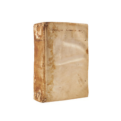
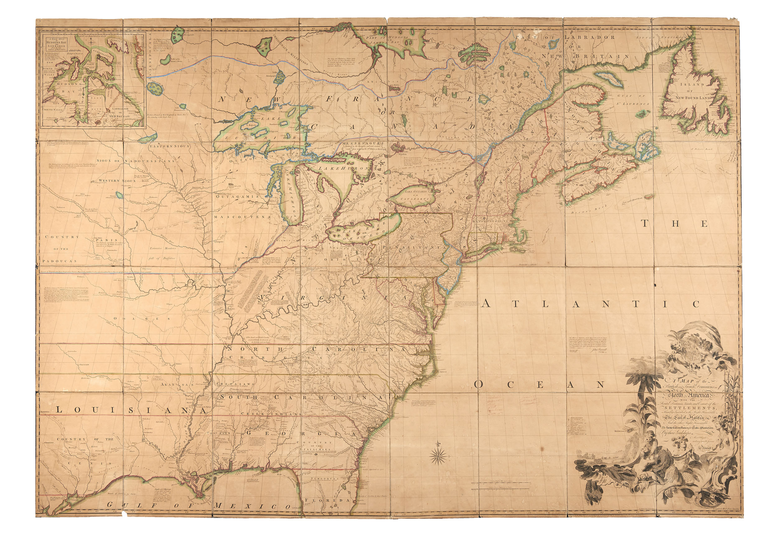
MITCHELL, John, (1711-1768). A map of the British and French dominions in North America…Lords Commissioners for Trade & Plantations. [Londra]: sold by And: Millar, 1755.
First edition and third printing of what is considered the most important map of 18th-century America, which enjoyed considerable success in print: By 1781 it had been distributed in about 21 states and translated into Dutch, French and Italian. The map shows Britain's dominion and claims over large parts of the continent at the beginning of the Franco-Indian War (1754-63) and deliberately ignores the French claims made after the Congress of Utrecht (1714). John Mitchell, a native Virginian, moved to London in 1746 and collaborated on colonial affairs with the Earl of Halifax (to whom the map is dedicated), who as chairman of the Board of Trade was able to provide him with the most accurate and up-to-date surveys of the land. The map, which is extremely detailed, shows American cities, counties and provinces, frontier settlements, forts, roads and main ranges as well as Native American villages and tribal territories, mineral deposits, early exploration routes and some battlefields. Also depicted in detail are mountain ranges, rivers and lakes, passages, waterfalls, North Atlantic fishing grounds, and the St. Lawrence River and Great Lakes canals. Ironically, the map, which was intended for the benefit of British rule, was instead used to establish the borders of the newly formed United States in the 1783 Treaty of Paris. A milestone for the history of the United States of America and for world cartography.
Engraved folding map, (1360 x 1950mm). 8 engraved sheets divided into 32 sections mounted on linen, borders outlined in contemporary colouring (slightly browned, some light dampstains, minor chips to edges, a small loss of engraving at Lake Superior with the loss of the central letter 'p', and a small loss to the Atlantic Ocean) overall in good condition. Original backing in linen (somewhat worn). Third printing with Andrew Millar's corrected name and address and after correction of one of the two towns named "Leicester" to "Worchester" in the state of Massachusetts.. (1
Engraved folding map, (1360 x 1950mm). 8 engraved sheets divided into 32 sections mounted on linen, borders outlined in contemporary colouring (slightly browned, some light dampstains, minor chips to edges, a small loss of engraving at Lake Superior with the loss of the central letter 'p', and a small loss to the Atlantic Ocean) overall in good condition. Original backing in linen (somewhat worn). Third printing with Andrew Millar's corrected name and address and after correction of one of the two towns named "Leicester" to "Worchester" in the state of Massachusetts.. (1
ESTIMATE € 20.000 - 30.000
LOTS
2
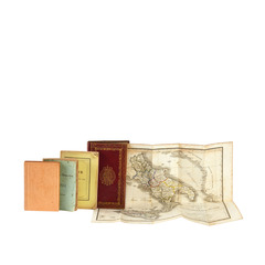
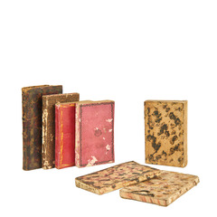
[ALMANACS - PARIS]. Le petit theatre de l'univers. Paris: Langlois, 1804; 1809.
[ALMANACS - PARIS]. Le petit theatre de l'univers. Paris: Langlois, 1804; 1809.
ESTIMATE € 200 - 300
7
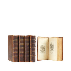
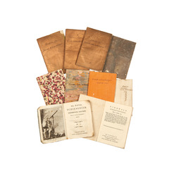
[ALMANACS]. Almanacco toscano per l'anno 1858. Florence: Stamperia Granducale, 1858.
[ALMANACS]. Almanacco toscano per l'anno 1858. Florence: Stamperia Granducale, 1858.
ESTIMATE € 100 - 200